![Mont Ventoux [fr]](/images/version_francais.gif)
![Mont Ventoux [en]](/images/version_english.gif)
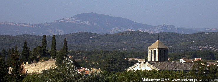
Malaucène, a Provencal town at the foot of Mont Ventoux
Malaucène is a Provencal village located north of Vaucluse, at the foot of Mont Ventoux, he opened one of the three roads leading to the summit of the famous mountain (with Bédoin and Sault). It is a pleasant village, led by the market. Its appearance is less spectacular than the hilltop villages, Malaucène is located on the side of a hill, it has significant heritage and offers all the charm of Provencal villages.
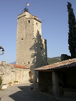
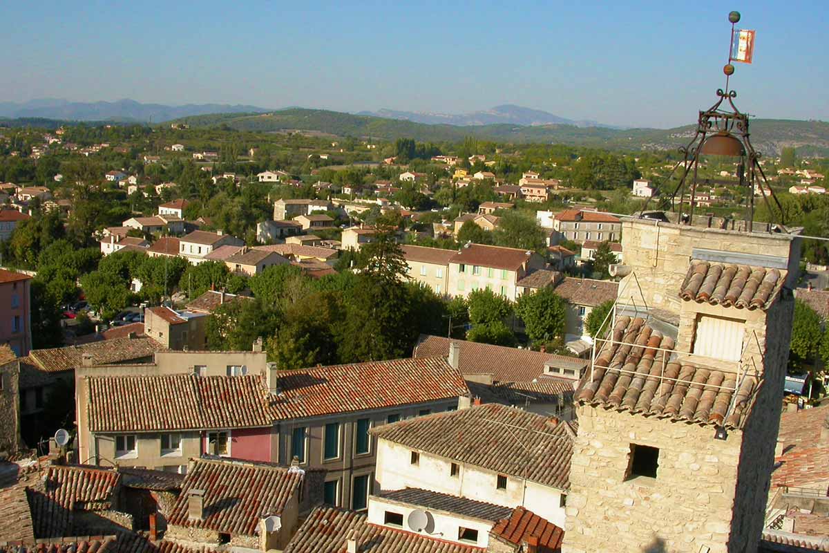
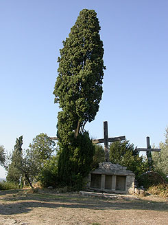
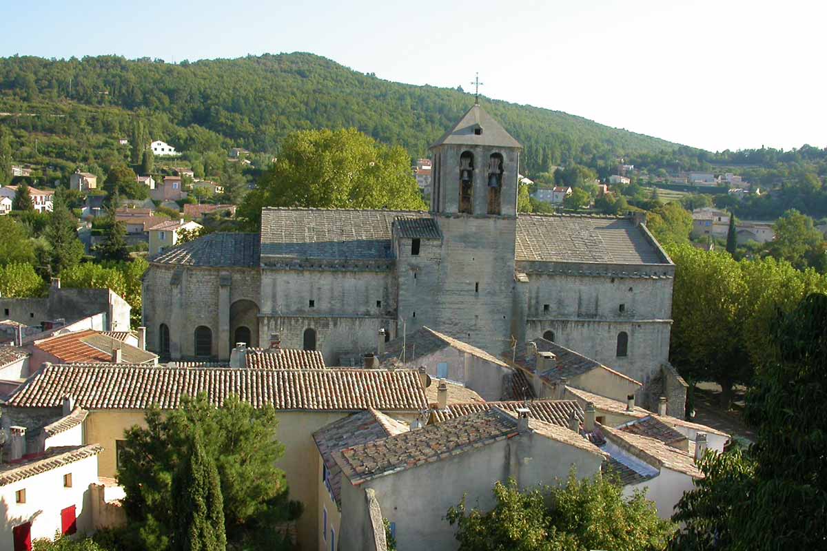
The streets of the old village is wrapped around a high rock where once the castle was built. The building is completely gone, abandoned, it was dismantled stone by stone in the 18th century. Three crosses are erected atop the hill, which can be reached via the access ramp of the Calvaire. The view from the summit is worth the effort of the climb: The belfry topped by a bell emerges over the red tile roofs of Malaucène. The beautiful view extends over the valley, the mountains of the Baronnies and the Mont Ventoux.
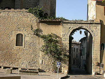
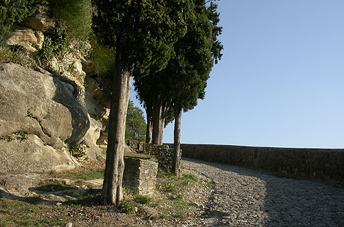
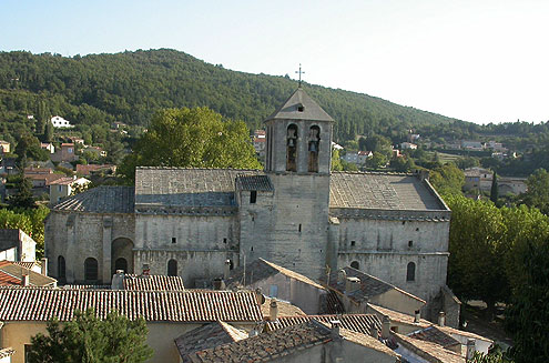
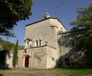
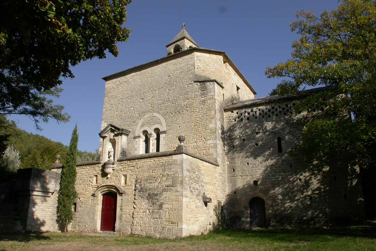
Of the ramparts remains only boulevards shaded by plane trees and three medieval gates, the Duron gate, Soubeyrans gate and Chaberlin gate. Malaucène’s church dedicated to both St. Michael and St. Paul is a massive building, mid-romanesque, mid-gothic. Built by the early popes of Avignon, he was part of the fortifications of the city.
The Chapel of Notre-Dame du Groseau lies below the road on the Mont-Ventoux, a few hundred meters after the village. This beautiful chapel, somewhat discreet, is the remnant of a large monastery, residence of Pope Clement V for five years (1309-13014), who built a little palace now disappeared.
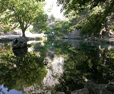
Little further up the road, lays the source of le Groseau, a resurgence: it spang at the foot of the cliff. In Roman times, water was supplied to Vaison-la-Romaine by anaqueduct, a dozen kilometers long. Many Roman remains have been found in the soil in the surroundings and other oldest prehistoric evidence yet prove human presence since the dawn of time.
Cycling the Mont Ventoux via Malaucène
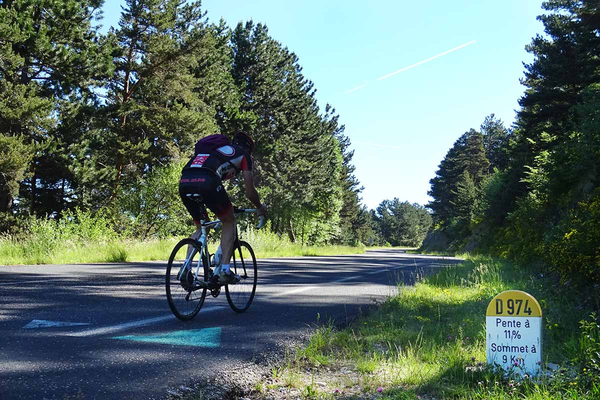
Via Malaucène or via Bédoin, altitude and distance leading to the summit of Mont Ventoux are quite identical. However, the profile is different: a solid introduction begins shortly after the village, just after the source of the Grozeau. The slope gently oscillates between 10% and 12% for a good three kilometres, until it reaches an altitude of about 700 metres. Less steeply sloping sections allow to appreciate the landscape and turn your legs more smoothly until you reach the viewpoint located at 980 meters. From this point, it is necessary to attack the copious dish, a slope at 12% and then 11% average over four kilometres leads to Mont Serein at an altitude of 1430 metres. Once out of the forest, the view of the Baronnies Mountains is breathtaking.
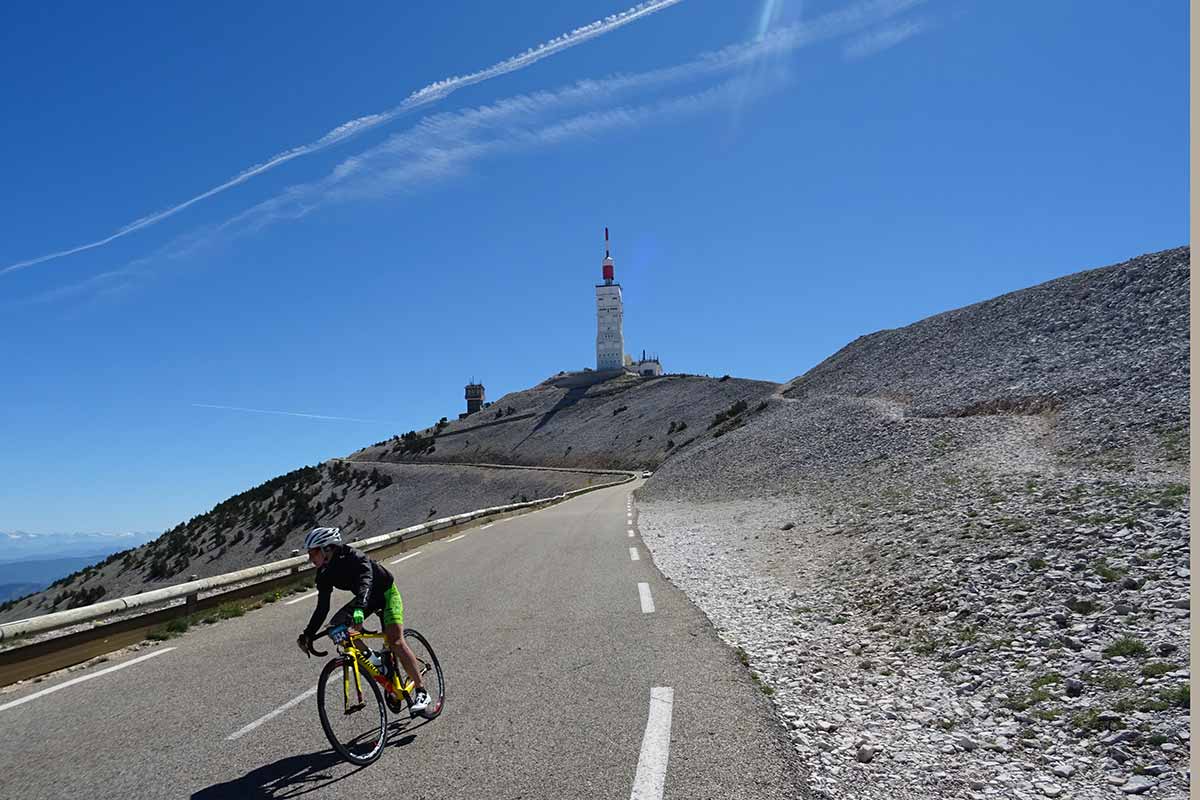
After a welcome flat but short section, the road curves in front of Chalet Liotard and the slope returns to a two-digit inclination, 11% or even 12% but only for a small kilometer. The ascent of the last 300 meters of altitude difference is progressive, in a majestic rocky landscape whitened by water and wind.
Si which road to choose for cycling to the top of the Ventoux, from Bédoin or from Malaucène? It is a matter of taste the route via Malaucène is more varied but with some steeper slopes, and it has also a more varied landscape as far as Mont-Serein. There are also fewer people and the road is wide also for the descent, it is certainly the best side.
Photos of Malaucène : slideshow
View over Malaucène and itd belfry
Saint-Michel fortified church at Malaucène
Climbing Mont Ventoux by bike by Malaucène
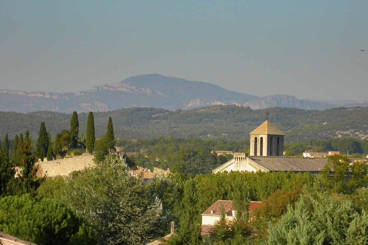
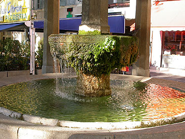
Malaucène
Notre-Dame du Grozeau Chapel at Malaucène
Arrival at the top of Mont Ventoux by bike from Malaucène
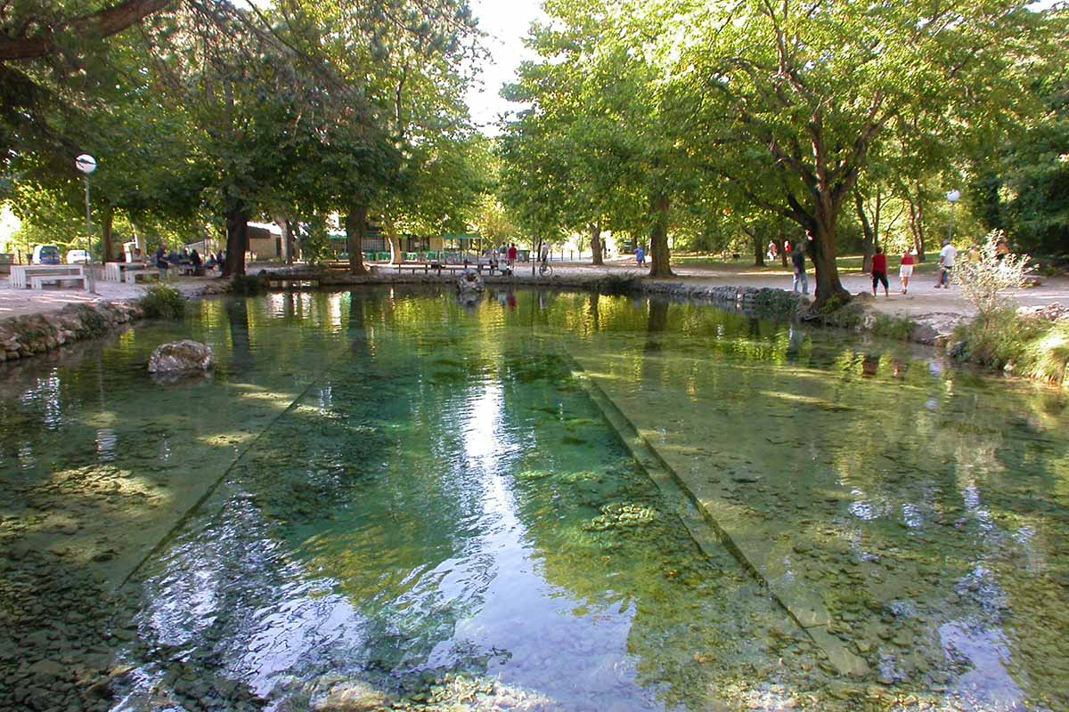
The Source of the Grozeau in Malaucène
Practical information and accommodation
Selection of guest houses around the Mont Ventoux on the portal of the Provence's B&B
Coming to Malaucène
GPS coordinates N 44°10’30’’ - E 5°07’59’’
Location : altitude 365 metres, 2600 inhabitants, 6 miles from Vaison-la-Romaine, 8 miles from Bédoin, 10 miles from Beaumes de Venise , 12 miles from Carpentras, 15 miles from Buis-les-Baronnies , 15 miles from Mont-Ventoux summit