


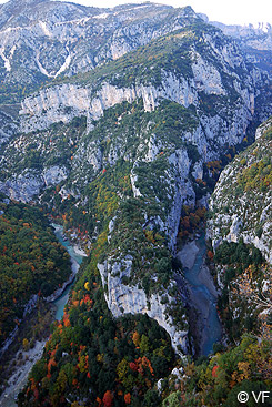
The Verdon Gorge is one of the most beautiful natural sites in Europe. Between the villages of Moustiers-Sainte-Marie and Castellane, the upper Verdon Gorge is the most spectacular part. The Verdon River has its source in the Alps near the Col d’Allos. It follows the Alpine folds, then it passes through the limestone plateaux of Haute-Provence cutting deep into them. The river created a narrow canyon, dominated by vertical cliffs 400 to 700 metres high, opening onto Lake Sainte-Croix.
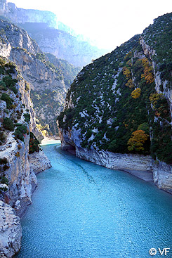
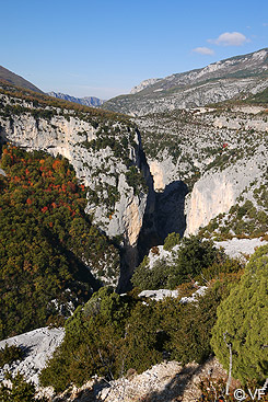
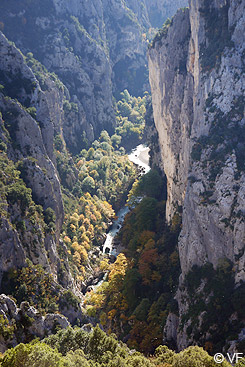
For a long time, people avoided venturing into this dangerous area. The current can be strong, and rain can cause sudden floods, leaving explorers with few escape routes. The first crossing of the river gorge was made by Édouard-Alfred Martel, a caver sent by an electricity company , with his companions A. Janet, Louis Armand and Isidore Blanc, a schoolteacher from Rougon, in 1905. They found their way with difficulty but succeeded in crossing the canyon from the Samson Corridor near Rougon to the Roman bridge at Aiguines in 4 days. Today a hiking trail, the Blanc-Martel trail, has been laid out along the gorges for about fifteen kilometres. It is recommended for fit, well-equipped hikers.
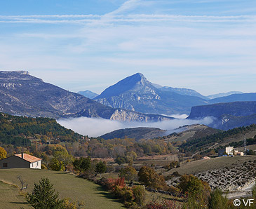
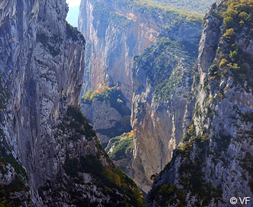
The most popular way to visit the Gorges du Verdon remains the road. From Moustiers-Sainte-Marie, it follows the Verdon on its right bank to La Palud-sur-Verdon without offering spectacular views. Starting from La Palud, the Ridge Road (Route des Crêtes - D. 23) offers stunning viewpoints (part of the road is one-way; follow the clockwise direction and the road signs to complete the loop).
"Point sublime" lies at the foot of the village of Rougon. It offers a beautiful view of the entrance to the canyon, the starting point of the first explorers. The road crosses the Verdon over the Carejuan bridge, passes at the foot of the village of Trigance and follows the left bank of the river towards the "Mescla", where the Artuby, a tributary, joins the Verdon. This is the beginning of the "Sublime Corniche" along the ridges of the cliff, with stunning views, and unrivaled beauty. The afternoon light illuminates the cliffs on the opposite side.
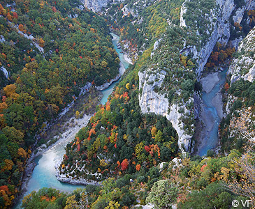
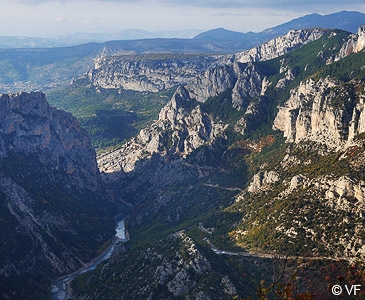
The upper Verdon Gorge is rightly one of the main attractions of Provence. It is a unique natural treasure, which deserves protection despite the heavy visitor numbers, especially in summer.
The Verdon Gorge is the border between the departments of Var and Alpes-de-Haute-Provence. It is part of the Verdon Regional Nature Park.
Accommodation and sights

 Consult a selection of guest
houses near the Gorges
du Verdon on the portal of bed and breakfast in Provence
Municipal and tourist office websites :
- Moustiers-Sainte-Marie : www.moustiers.eu
- La Palud-sur-Verdon : www.lapaludsurverdon.com
- Castellane : www.castellane-verdon.com
- Aiguines :www.aiguines.com
Getting to the Verdon Gorge
GPS coordinates N 43°44'16'' - E 6°21'50''
Location : altitude 472 to 660 metres above sea level, Aiguines, Bauduen and Trigance, are near the gorge and Lake Sainte-Croix , 4 miles from Moustiers-Sainte-Marie, 50 km from Digne-les-Bains, 50 km from Manosque, 60 km from Draguignan, 90 km from Aix-en-Provence