


At the foot of a high cliff in the Rhône Valley, Mornas preserves its old gateways, streets and Val Romigier church. The fortress rises above the village: this photographic report explores both and their views.
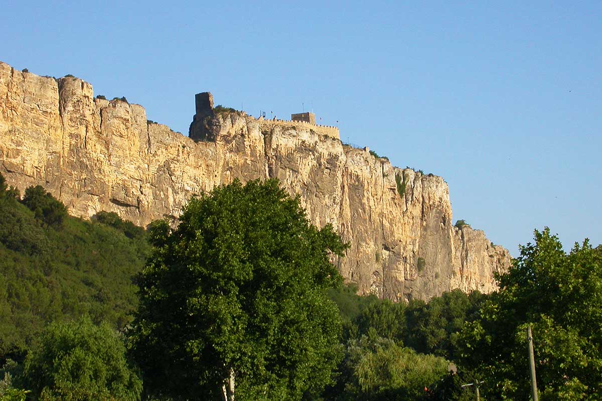
The Fortress of Mornas
Motorists arriving in Provence through the Rhône Valley cannot miss the ramparts and keep of the Mornas Fortress, a steadfast sentinel perched high on the cliffs, with its flags flying in the wind.
The visit of the Mornas Fortress is an opportunity to admire a beautiful view over the Rhone valley behind the walls with battlements. Guided tours also offer a fun way to learn about the life of lords and peasants in the Middle Ages, and the handling of weapons. To the delight of young and old.
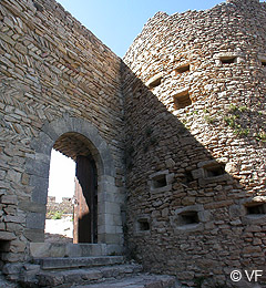
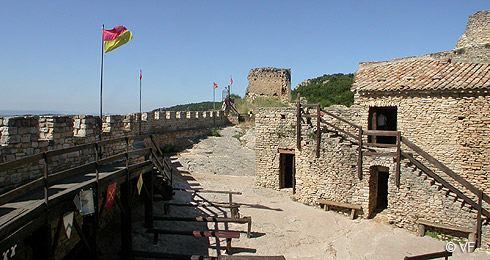
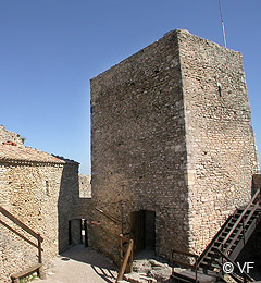
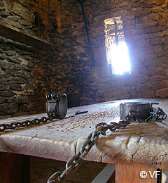
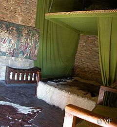
Mornas citadel was never the residence of a lord, that's why it is called citadel or fortress rather than castle. The stronghold that has withstood the vicissitudes of time until our days was built by the Count of Toulouse in the 12th century. It then passed under the control of the Holy See and became part of the Comtat Venaissin. In the 14th century, it provided a refuge when mercenary bands passed through the region, seeking to extort a share of the pope’s wealth.
The Wars of Religion left a painful mark on Mornas. In 1562, Protestant troops led by Montbrun took the fortress, an episode remembered for the violence that accompanied it. The municipality’s history of the village records a memorial to the victims of Dupuy-Montbrun.
Once the Wars of Religion ended, the fortress gradually lost its military purpose and fell into disrepair. In 1977, the association Les Amis de Mornas began restoring it. The restored ramparts and buildings have since given the fortress its imposing silhouette again.
Tel : 04 90 37 91 28
All information and news on the web site of Mornas fortress : www.mornas.fr - forteresse@mairie-mornas.fr
The village of Mornas
Mornas village nestles at the foot of the 137-meter-high cliff. The hill was a shelter against frequent floods of the Rhone, which sometimes spread to the foot of the cliff, the fort was a haven in turbulent times: the Rhone Valley is a thoroughfare crowded by merchants, travelers, and armies.
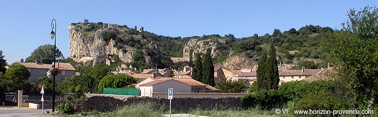
Mornas and its heights have been occupied since Neolithic times. It is an important strategic point for controlling the traffic of the Rhone Valley. The Romans implanted a castrum. During the Middle Ages Mornas belonged successively to the Holy Roman Empire, to the archbishops of Arles, the Count of Toulouse, then the Holy See after the Albigensian crusades, it was then integrated into the Venaissin County.
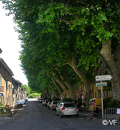
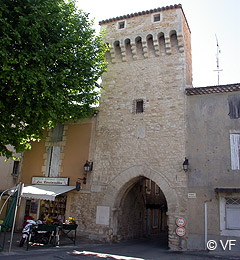
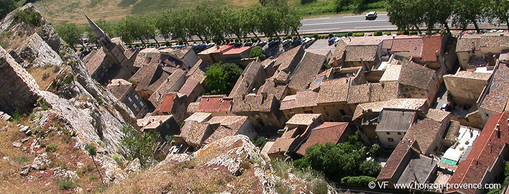
The pink-tiled roofs and perpendicular streets of Mornas cluster at the foot of the cliff. The walls of Mornas disappeared in the 19th century, but the medieval gates survived. The magnificent plane trees in the "Cours des Platanes" provide welcome shade and coolness in summer.
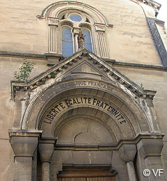
The Church of St George in the village dates from the 19th century, its facade bears the Republican motto "Liberté - Egalité - Fraternité" since 1905, when Church and State were separated. It is one of eight "Republican churches" of Vaucluse.
Church Val Romigier
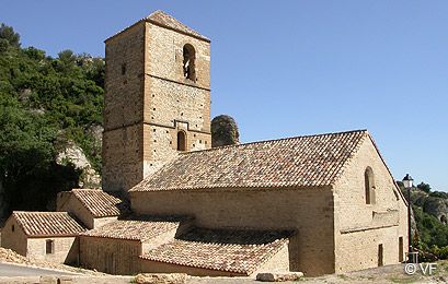
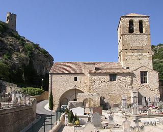
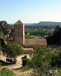
The steep path up to the fortress passes through the narrow valley of Sainte Baudile. The last building before the climb is the strikingly beautiful former parish church of Val Romigier. Originally Romanesque, it was very damaged during the wars of religion, and then happily restored. It is a monument with three naves with transept and central octagonal dome that fits harmoniously into the landscape.
Mornas Fortress on top of its cliff
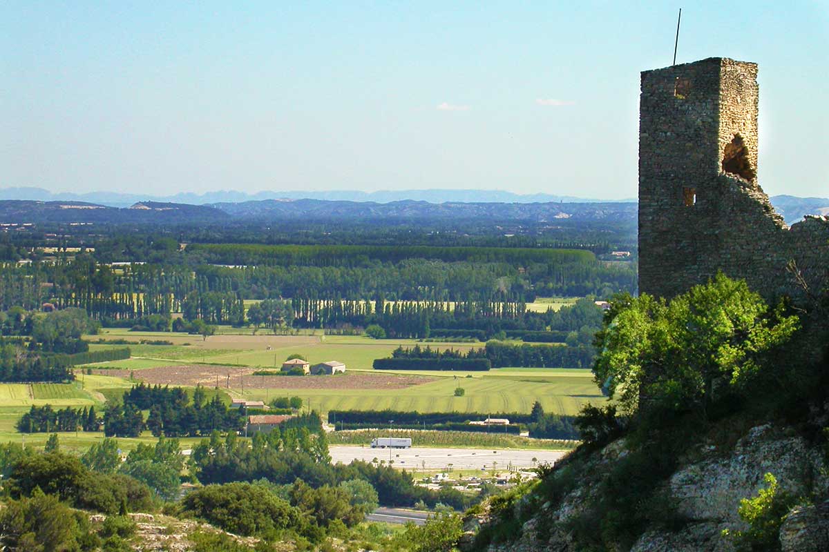
The Rhône Valley seen from Mornas ramparts
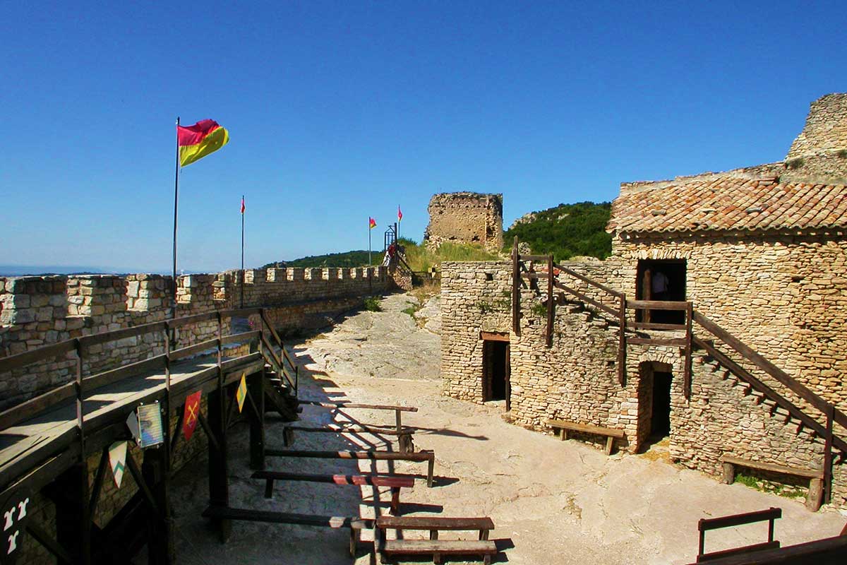
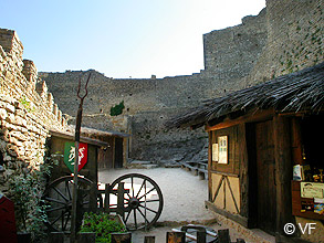
The courtyard and ramparts of Mornas Fortress
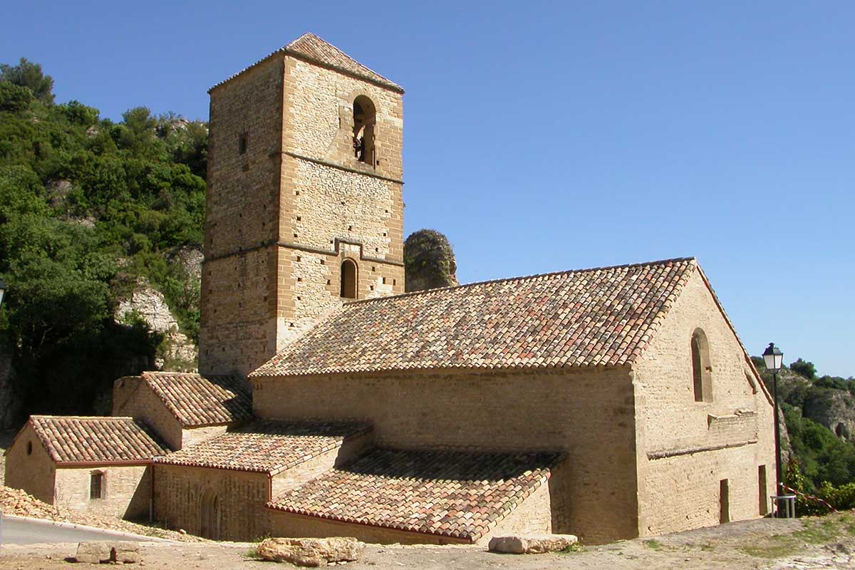
Val Romigier church on the way to the fortress
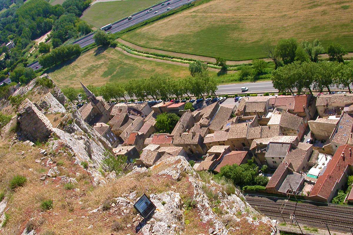
Mornas village and its rooftops seen from the cliff
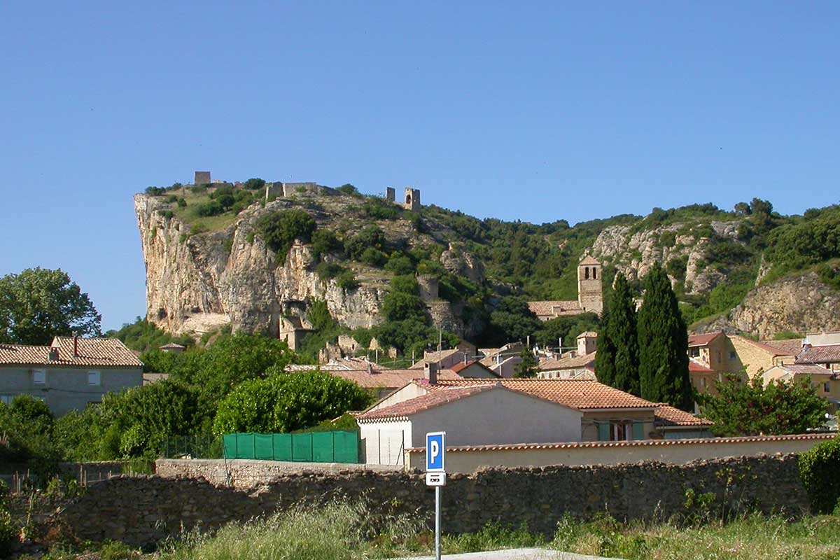
Mornas village and fortress in the Rhône Valley
Accommodation nearby Mornas
Accommodation · Guest Houses in Provence PortalGuest houses near Mornas Explore the selection of bed and breakfasts, gîtes and holiday rentals to plan your stay. View the selection →
Sights and activities :
Website of the Municipality :mornas.fr
- Mornas Fortress
- Church of the Val Romigier (12th century)
- Sainte Baudile chapel
- Medieval gateways of Saint-Nicolas and Saint-Pierre
- Saint Georges church (19th century) in the centre of the village
- troglodyte dwellings in the cliff
- Markets and medieval festivities: consult the municipality’s current dates.
- Markets and medieval festivities: consult the municipality’s current dates.
Planning a visit to the fortress
Park in the village and continue uphill on foot to reach the fortress. The approach is steep: allow for the climb when planning your visit. Opening times, admission prices and guided activities should be checked on the fortress website.
Coming to Mornas
GPS coordinates N 44°12'12'' - E 4°43'37''
Location : altitude 80 metres above sea level, 2,569 inhabitants (2023 census), 10 km from Bollène, 12 km from Orange, 44 km from Avignon